-
-
-
-
-
-
-
-
-
-
-
-
-
-
-
-
-
-
-
Drag to turn
- Printed to order
-
Map data © OpenStreetMap contributors
Montreal
Montreal circuit, Île Notre-Dame · Canada
Price ₹1,799
Inclusive of all taxes
About Montreal
A fast 4.4 km island circuit in the St. Lawrence River, all long straights and tight chicanes, with a concrete wall at the last one.
The circuit
- Lap length
- 4.361 km
- Elevation change
- 9 m
- Location
- 45.5052° N, 73.5261° W
Montreal F1 track: map, location and facts
Height exaggerated so you can see it. Map data © OpenStreetMap contributors (ODbL) · elevation Copernicus GLO-30 (© DLR e.V. 2010–2014 and © Airbus Defence and Space GmbH 2014–2018, provided under COPERNICUS by the European Union and ESA).
The piece
- Gift box +₹249
- Ready to hang
- Ships in 2 days
- Dimensions
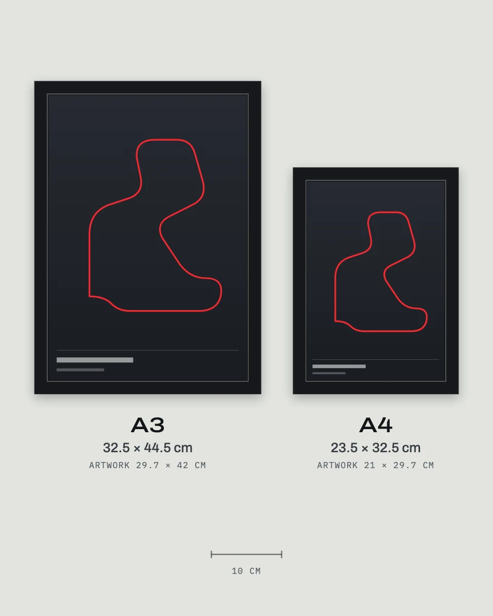
- A4 frame 24 × 33 × 3 cm · artwork 21 × 29.7 cm
- A3 frame 33 × 45 × 3 cm · artwork 29.7 × 42 cm
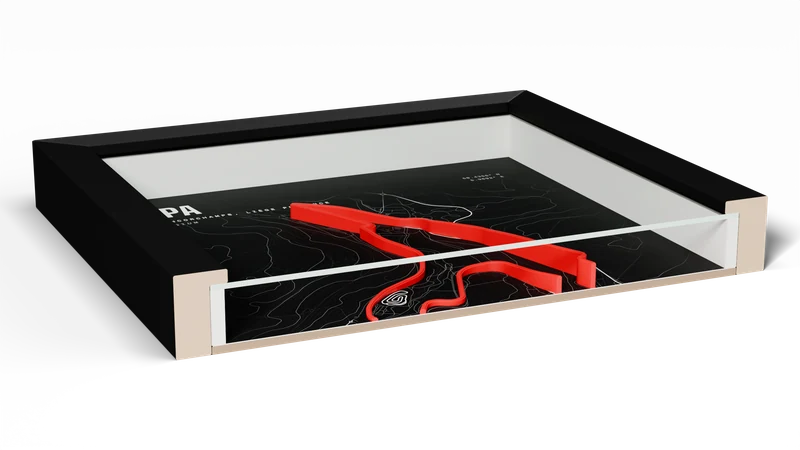
Every climb and drop, as it is
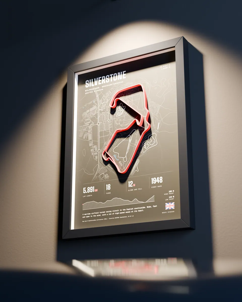
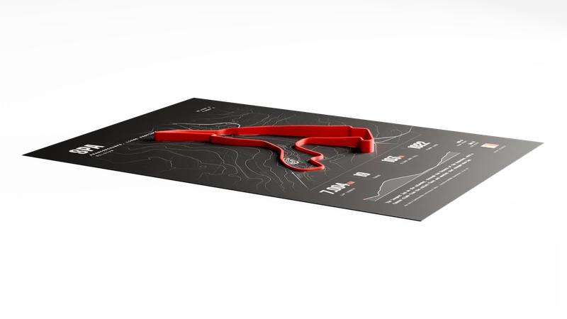
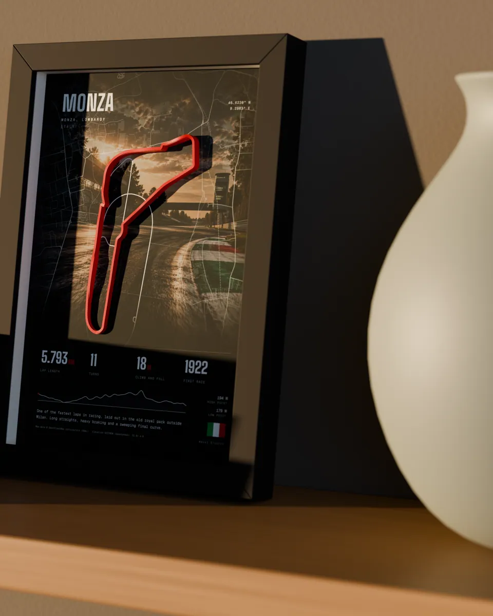
The track isn’t a printed line. It’s a small piece of terrain, built from real map and height data, and the frame is built around it.
Where the highs and lows are
High 465 m Low 364 m - Highest point465 mprinted 10 mm
- Lowest point364 mprinted 1.2 mm
- Difference101 min real life, Spa
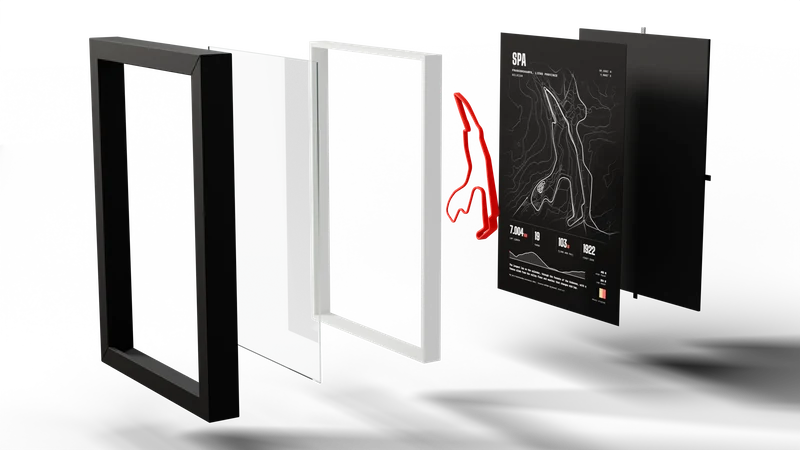
The layers
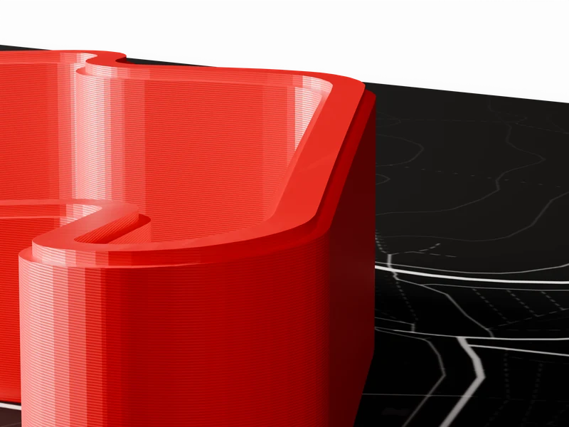
Up close
Where the data comes from
- The trackIts centreline is traced from OpenStreetMap.
- The heightsTaken from GEDTM30 terrain data, then exaggerated so they show on a wall. The shape of each climb and drop follows the data.
- The printPLA at 0.08 mm layers, glued flat on the poster.
Map data © OpenStreetMap contributors (ODbL). Elevation: GEDTM30 (OpenGeoHub), CC BY 4.0.
Which size
-
A4
24 × 33 × 3 cm
- Desk
- Shelf
- Sim rig
-
A3
33 × 45 × 3 cm
- Feature wall
- Living room
- Garage
More circuits
See all- Best seller
Dark
Dark- Best seller
Dark - Best seller
Dark